
Essential Agriculture Variables
Agriculture is highly dynamic both in space and time.
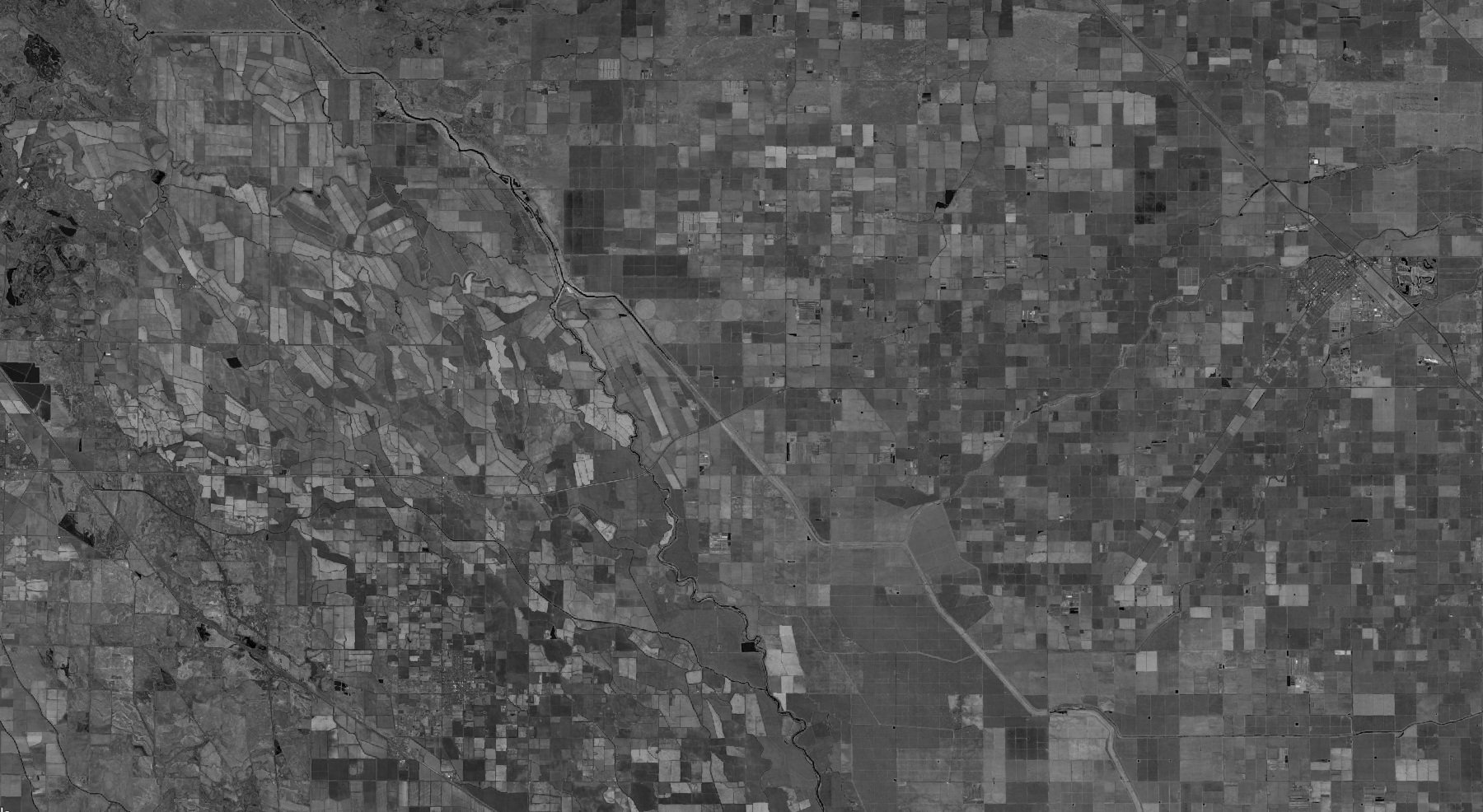
Satellites are designed for such a challenge: the data that they collect are rich in detail and cover large areas, frequently, and at low-to-no cost.
The scientific community has demonstrated that satellite data can measure or infer how natural phenomena (e.g. temperature, rainfall), management decisions (e.g. planting date, no-till), and outcomes (e.g. productivity, resilience to extreme weather) vary over space and time, providing an excellent launching point for turning this science into action to benefit U.S. agriculture.
We call these “Essential Agriculture Variables” or EAVs. They are key building blocks that tell us about state, change, and forecasting in agriculture. Many are useful alone or in combination with one another to shed light on the complex agricultural system, help with land use planning, adaptation, and enable within-season agricultural decisions.
NASA Acres is structured around the EAVs as a framework. Having learned from and building upon an existing international effort by the G20 Global Agriculture Monitoring Program (GEOGLAM) to define and produce EAVs to reduce complexity, data collection burden, effort duplication for global food security and agricultural trade, we are adapting these variables to the needs of U.S. agriculture, in particular farmers and ranchers. This means that we are working hand-in-hand with different decision-making Partners to understand their needs, and those of their broader agricultural network, to identify the priority variables and their specifications.
Why EAVs?
The agricultural decision making community often asks, “what can satellites see?” The EAV framework itself is a valuable translational tool to answer this question.
Answering the question of “what is possible” gets you part way, but we need to demonstrate the relevance and value to different decision makers who are working in U.S. agriculture. That is why the majority of our projects include methodological improvement for mapping different EAVs. The projects immediately benefit our existing Collaborator Partners, and serve as a jumping off point for benefiting new decision makers who join NASA Acres.
The findings from the decision makers needs assessment process, and from feedback they provide as we roll out EAVs, provides critical feedback to NASA and other space agencies on satellite data requirements - what they need to produce, where, and when. These findings also help set priorities for public and private organizations interested in supporting U.S. agriculture at the intersection of data and action.
Realizing the benefit of this Consortium’s model, NASA Acres Research, Development, and Extension Partners can integrate their EAVs with one another to unlock new insights and benefits, and inter-compare their methods and approaches toward overall improvement in the performance of satellite data for agriculture.
Where We Are Now
In designing NASA Acres, we triangulated the experience of GEOGLAM, the capabilities of the top satellite data scientists and practitioners who make up NASA Acres Research, Development, and Extension partners, and the needs of decision-making-collaborators already in our network, to identify an initial set of EAVs on which to focus. While we will refine our EAVs over time through consultations and feedback from decision-makers, our initial list of EAVs.
NASA Acres | Essential Agriculture Variables
Within-Season Yield Forecasting
Historical Yield Estimation
Cropland and Crop Type Mapping
Crop and Crop Type Area Estimation
Crop Planting and Harvest Dates
Field Boundaries and Sizes
Cover Crop Utilization and Performance
Crop Residue and Tillage Mapping
Canopy Nitrogen Content
Rangeland Productivity
Rangeland Forage Quality
Evapotranspiration
Soil Moisture
Soil Organic Carbon and Other Metrics of Soil Health
Pest & Disease Early Detection and Warning
The original Essential Agriculture Variables were developed in the context of a G20 Initiative on food security and agriculture known as GEOGLAM. 30 international EO practitioners and agricultural policymakers developed consensus definitions for >40 variables of state, change, & forecast
A majority of our projects include methodological improvement for mapping different EAVs

