News
Researchers are Using Satellite Imagery to Help Predict Soybean Quality Before Harvest
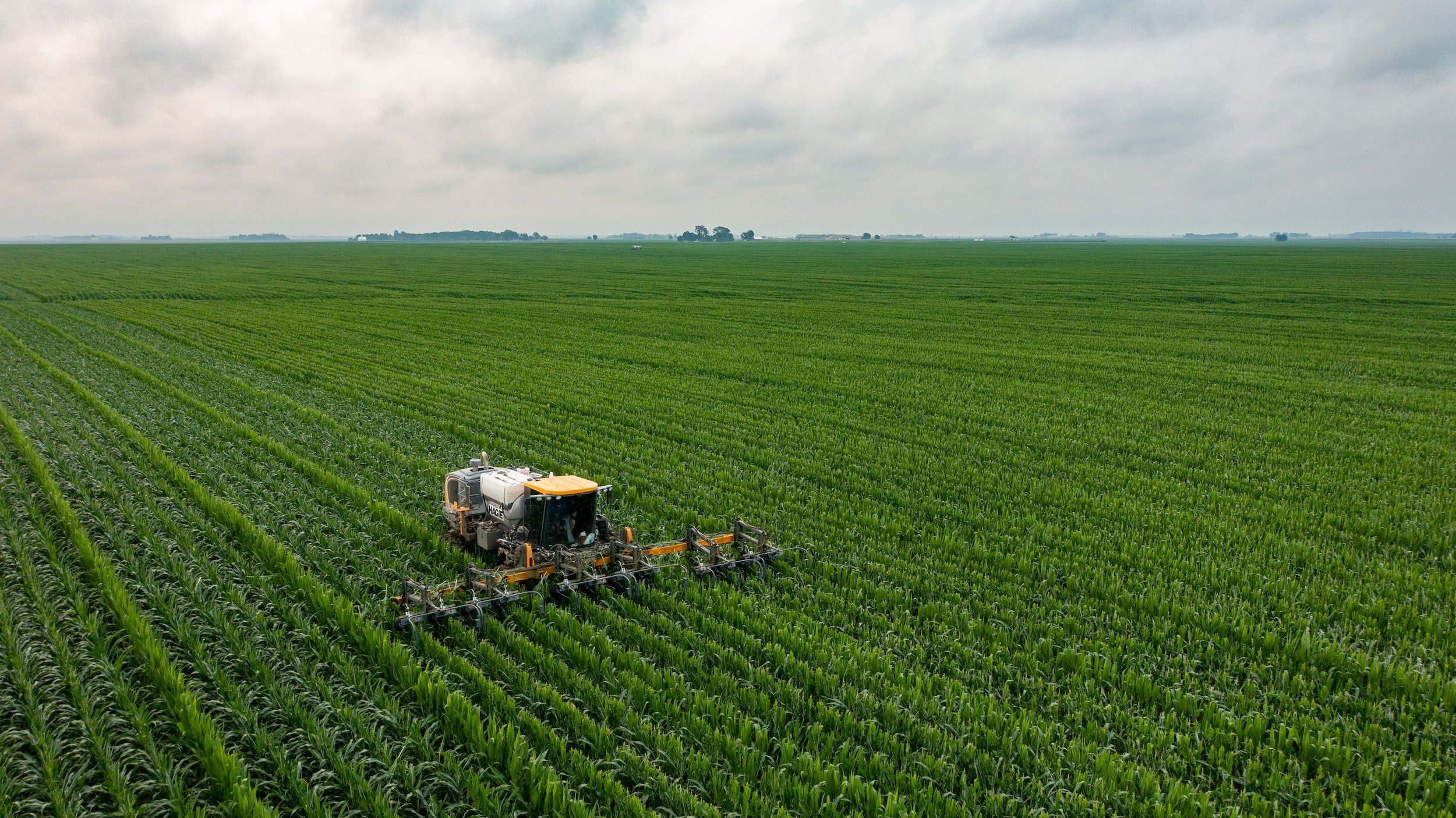
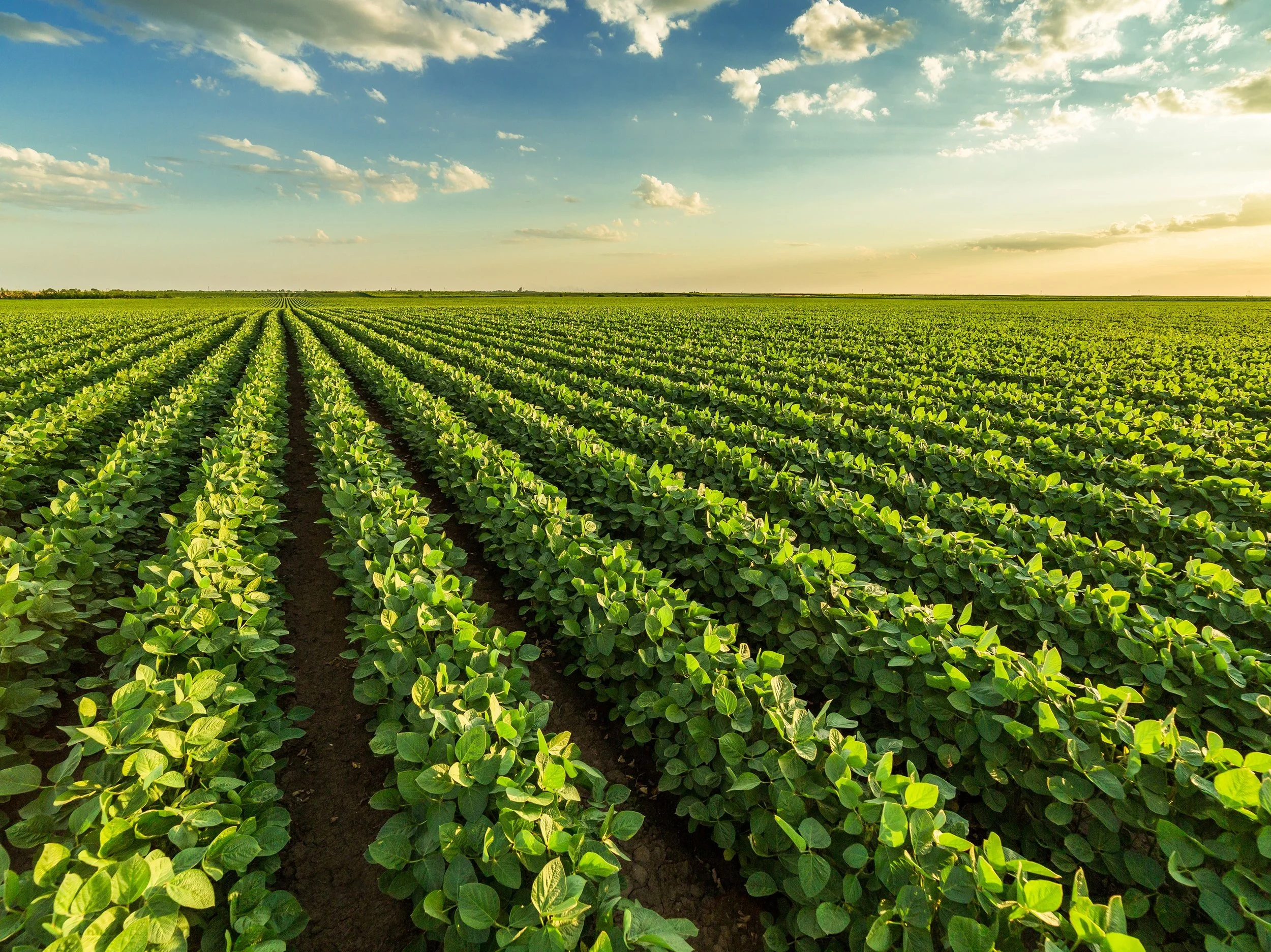
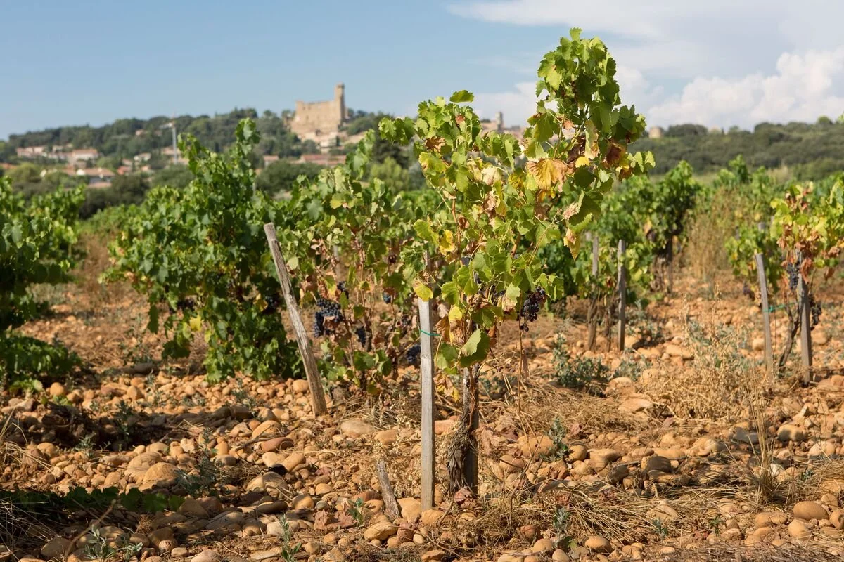
Soybean production in the U.S. has steadily been on the rise over the past two decades, driven by both its versatility and economic value - with national acreage growing by over 18 percent. There is growing interest in improving soybean management practices and better understanding seed quality traits. To support this effort, a team of researchers, led by Ignacio Ciampitti (formerly at Kansas State University, now at Purdue University) and Carlos Hernandez (Kansas State University), is advancing research that integrates in-field crop data with open-source satellite imagery to better understand factors that influence soybean quality and predict traits, such as protein and oil content, before harvest time.
Satellite Solutions for Ag: Highlights from AGU24
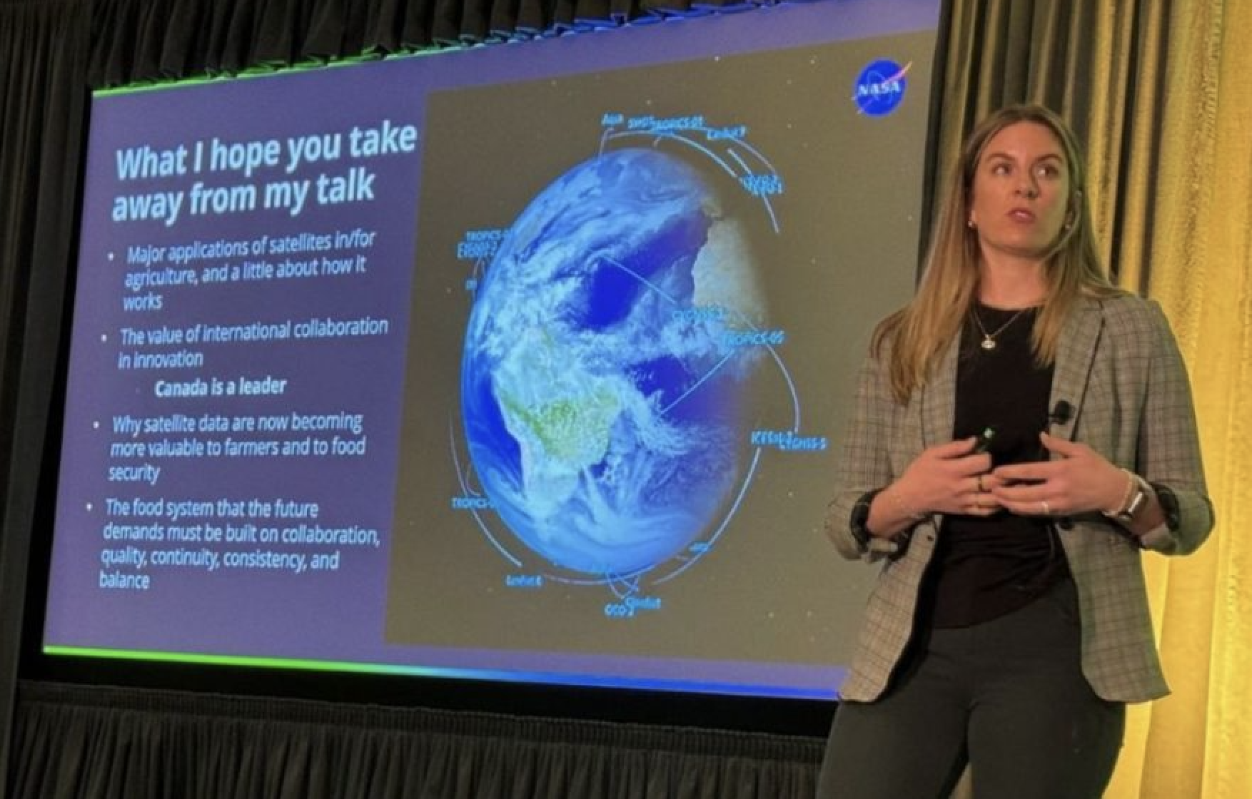
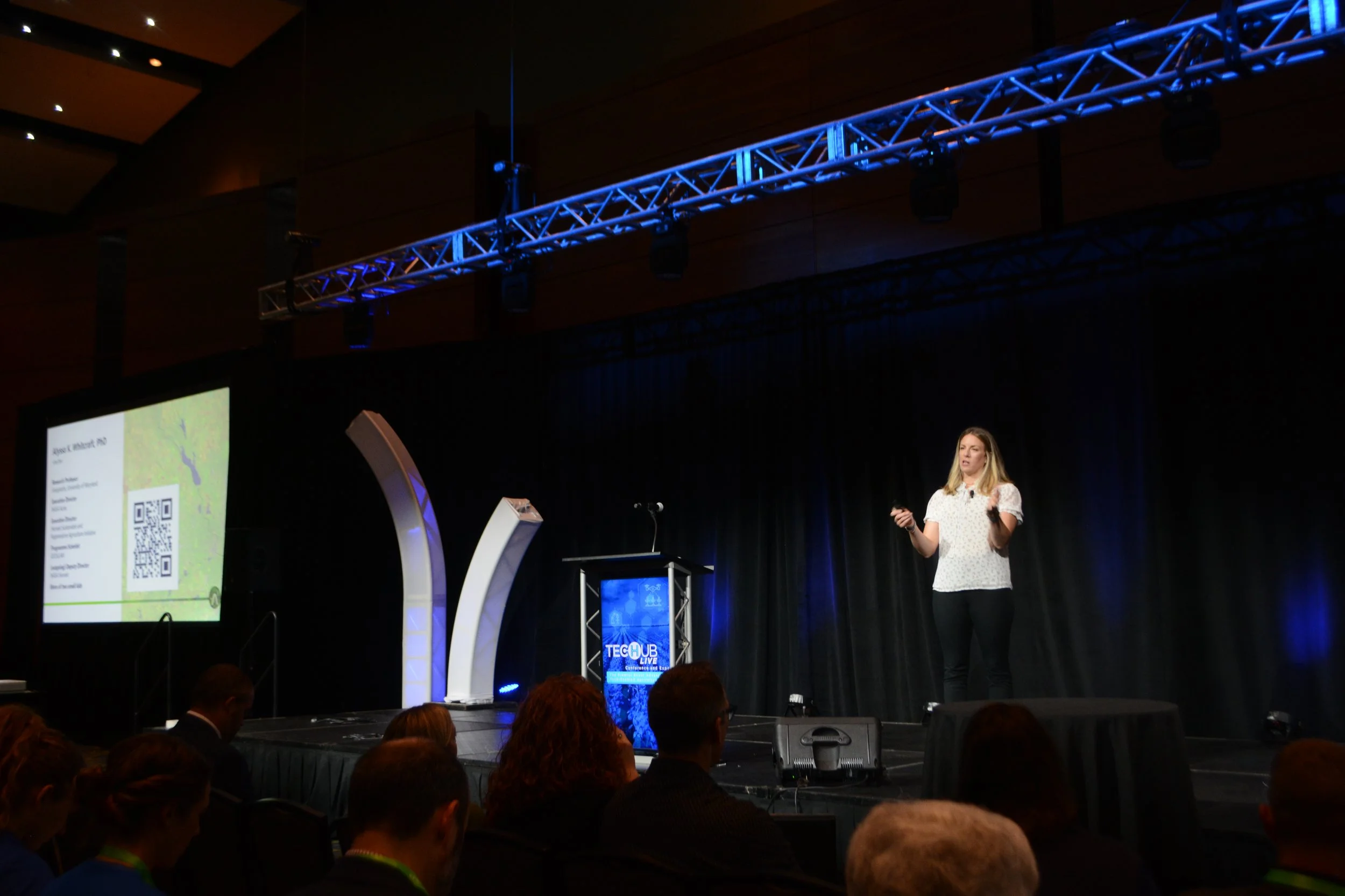
Last week, NASA Acres and our sister Consortium, NASA Harvest, had a packed week at AGU’s Annual Meeting. Together, we convened a poster session and three oral sessions under the theme “Satellite Solutions: Advancing Agricultural Monitoring Through Remote Sensing.” These sessions showcased new findings, methods, data sources, and challenges across scales and geographies related to the use of Earth observations for agriculture and food security.
Check out this recap by Keelin Haynes at NASA Harvest sharing highlights from the week.
UIUC Researchers Launch Data-Driven Tool to Help Illinois Farmers Optimize Fertilizer Use
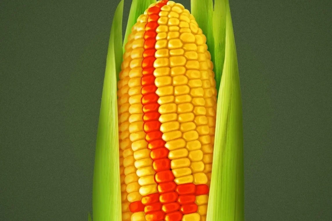
Researchers at University of Illinois, led by Kaiyu Guan (Chief Scientist at NASA Acres) have developed a tool to help Illinois corn farmers optimize nitrogen (N) fertilizer use. The Maximum Return To Nitrogen (MRTN) Tool uses data on N fertilizer response and prices to help farmers apply only what’s needed, improving returns and reducing environmental impact.
From Seeds to Satellites: Supporting Food Security Through Satellite Technology
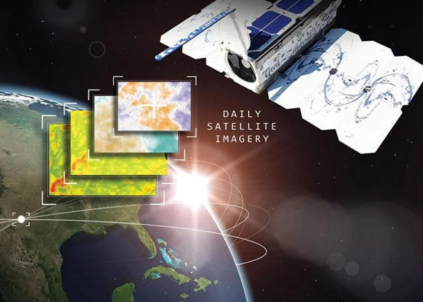
NASA Harvest and NASA Acres, two pioneering NASA Consortia focused on food security and agriculture at global and domestic scales, respectively, recently showcased their groundbreaking contributions at the Joint NASA and USDA Seeds to Satellites exposition. The event held at the Rayburn Building in Washington, DC, served as a platform for highlighting how remotely-sensed Earth observations play a pivotal role in agriculture monitoring and in supporting food security initiatives and policies.
Eight Early-Career Scientists with NASA DEVELOP Explore Use Cases of Satellite EO for Rangelands
Earlier this spring, 8 early-career professionals with the NASA DEVELOP Program joined the NASA Acres team at Colorado State University (CSU) to complete 10-week feasibility studies focused on developing use cases for the application of satellite Earth observations (EO) for rangeland and ranch management. Tony Vorster, a research scientist in Warner College’s Natural Resource Ecology Laboratory (NREL), is the primary investigator for the NASA Acres work at CSU that the studies contributed to.

NASA Acres In The News
