
Using Satellite EO to Strengthen Food Security for Hawaiians
Project Summary
Maui County, which includes the islands of Maui, Lāna‘i, and Moloka‘i, faces critical food security challenges due to a high reliance on imports and limited local agricultural infrastructure. Rising food costs and logistical vulnerabilities underscore the need for scalable, cost-effective solutions that boost local food production.
Tri-island Maui County, which includes the islands of Maui, Lāna‘i, and Moloka‘i, is particularly vulnerable to food shortages due to high reliance on agricultural imports and supply ships. Rising food costs and logistical vulnerabilities underscore the need for scalable, cost-effective solutions that boost local food production.
The Maui county community has a stated need for decreased reliance on imports/supply ships and increased local food production, workforce development, and opportunities for multiple sources of income. Policymakers and other decision-makers (e.g., Maui United Way) need data about food security and food production across the island to determine what effective policies or programs can be developed to address these challenges, as well as measure their progress. We can use EO data to provide a continuous view of crop conditions and other agricultural information across Maui county.
Decision-makers can use the resulting data products to design policies and programs that improve the livelihoods of Maui county farmers and residents. The resulting data systems could become a key component of agriculture monitoring and support programs through their use/continuation by the Maui County Department of Agriculture and County Council. Spatial datasets that indicate where and which crops are being grown annually on the islands would enable policymakers, government agencies, and other key stakeholders to design policies and plans to increase food production in a manner that is resource-efficient, regenerative, and supportive of small-scale and indigenous farmers. The project’s resulting datasets and Food Security Dashboard integration are critical for monitoring and tracking crop conditions and production, can support the identification and adoption of novel approaches, and can increase support of regionally significant practices like taro farming while reducing the impact on other ecosystems and biodiversity.
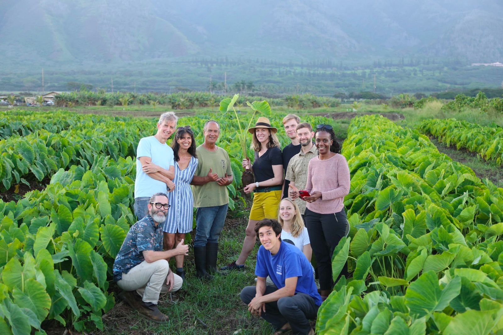
In this project, Dr. Kerner is collaborating with local institutions including Maui United Way, University of Hawaii Maui College, and Responsible Markets to develop data products using satellite Earth observations and machine learning to enable visualizations of crop conditions, food availability, and other agricultural information. They are consulting with local farmers, community organizations, and policymakers to co-develop solutions that will support farmer livelihoods, increase food access and availability, and help meet the county’s and state’s economic and resource-efficiency goals. As a part of her project, Dr. Kerner has introduced an initiative on workforce development called, ‘Āina Data Stewards, a student-lead field data collection pilot program to collect the field data needed to train and validate the cropland and crop type maps.
Study Area:
Maui County, HI
Earth Observations Used
Sentinel-1 | Sentinel-2 | SRTM DEM
Related News

Other Resources
Maui County Food Security Data Visualization Project Dashboard: https://nasaacres.github.io/
Maui Wildfire Response Dashboard:
https://nasaacres.github.io/maui-wildfires
Lead Institution

Project Lead

Hannah Kerner
Arizona State University
Project Team:

Catherine Nakalembe
University of Maryland

Ivan Zvonkov
Arizona State University

Gabriel Tseng
McGill University
Vedant Janapaty
Silver Creek High School
Collaborators
Shay Chan Hodges Responsible Markets
Nicholas Winfrey Maui United Way
Nicolette van der Lee University of Hawaii Maui College