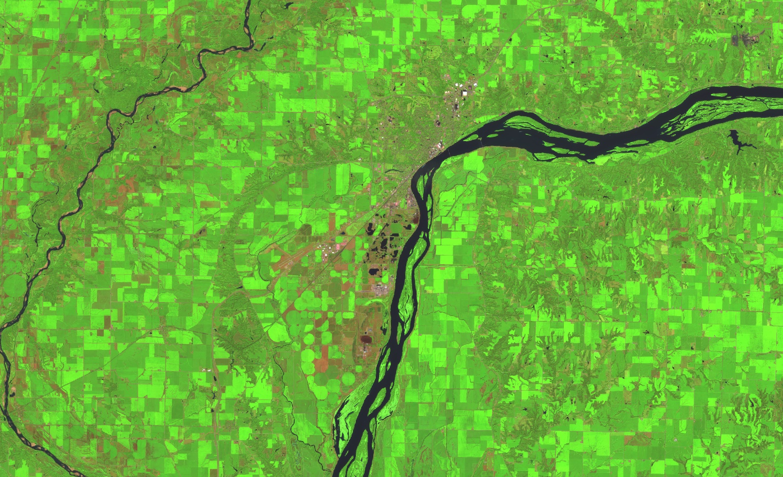
Explore the Quick Depletion of Ground Water Table Over the Lower Mississippi Alluvial Plain Using Remote Sensing Evapotranspiration
Project Summary
The Lower Mississippi Alluvial Plain (LMAP) is one of the most productive regions in the United States, with large areas of corn, soybean, rice, and cotton planted. Associated with the intensified agricultural activities, this region has been experiencing a rapid decrease in the ground water table that can threaten the sustainability of the region’s water supply (Gleeson et al., 2010), and this condition may be exacerbated under the changing environment (J. Yang et al., 2019) . To begin to address this issue of groundwater depletion, it is critical to understand how the irrigation water is currently used by various crop types and management strategies. Evapotranspiration (ET) represents the land surface water use and is a key variable in the hydrological cycle. Field-scale ET retrieved from satellite data has been intensively evaluated in comparison with flux tower observations (Melton et al., 2021) and has proved to be effective for agriculture management impact assessment (Yang et al., 2017) , crop water use accounting (Anderson et al., 2018) , crop yield estimation (Yang et al., 2018) , and irrigation scheduling (Knipper et al., 2019). Here, we propose to assess crop water use through modeled ET in the LMAP region at field scale to provide critical local water use information for improved agriculture and water resource management. The proposed work will help to address the challenge of water resource sustainability within this environmentally vulnerable area under changing environmental conditions. The ultimate goal is to help farmers in monitoring crop conditions, to provide field-scale information for irrigation scheduling, and to assist managers and policymakers in managing agricultural practices and water resource allocations.
Study Area:
Lower Mississippi Alluvial Plain
Earth Observations Used
Landsat
Lead Institution
Project Lead
Yun Yang
Mississippi State University
Martha Anderson
USDA


