News
NASA Acres Scientists are Developing Methods to Delineate High Resolution Field Boundaries
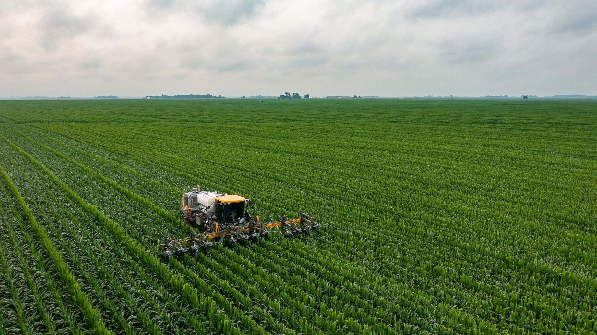
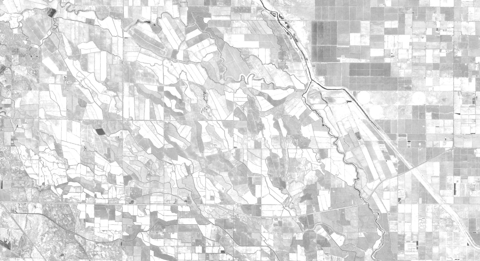
NASA Acres scientists, David Roy and Lin Yan of Michigan State University, are taking a computer-vision approach to extract crop field objects from Landsat satellite time series wall-to-wall in the Conterminous United States (CONUS) annually for 2008-2026, with core processing undertaken in Amazon Web Services (AWS) where the USGS Collection 2 Landsat Analysis Ready Data (ARD) are stored, and the results will be validated using Google-Earth and NASA high spatial-resolution imagery. In areas where fields are too small to be extracted reliably from Landsat 30m images, the commercial high-resolution images will be considered.

NASA Acres In The News
-
![]()
-
![]()
Smart Farming at SATELLITE 2025: How Satellites Are Transforming Agriculture
3/26/25 | Satellite World
-
![]()
Making it Easier to Use Satellite Data in Agriculture
10/17/24 | Sustainable Winegrowing with Vineyard Team
-
![]()
Survey Highlights Farmers’ Belief in Data Ownership and Collaborative Data Use
9/3/24 | Ag Data Transparent
-
![]()
From space to farm: readying NASA satellites to help growers
8/22/24 | Cornell Chronicle
-
![]()
NASA and Cornell use robots, satellites for agricultural research
8/21/24 | Spectrum News
-
![]()
NASA Space for Ag New York Tour - Geneva
8/14/24 | Morning Ag Clips
-
![]()
15 Minutes With… Dr. Alyssa Whitcraft, Executive Director of NASA Acres
6/25/24 | Women in Agribusiness
-
![]()
-
![]()
Whitcraft to deliver WIA Summit keynote speech
5/30/24 | World Grain
-
![]()
NASA is helping farmers — how researchers are using satellite images to address big ag issues
5/10/24 | Harvest Public Media
-
![]()
-
![]()
-
![]()
USA Rice Participates in NASA Acres Program Launch
11/08/23 | USA Rice
-
![]()
-
![]()
Live plant pathogens can travel on dust across oceans
10/10/23 | Cornell
-
![]()
Maui United Way and NASA Collaboration Expedites Aid for Maui Wildfire Survivors
10/06/23 | Maui Time
-
![Cotton Newsline Interview with Alyssa Whitcraft]()
Cotton Newsline Interview with Alyssa Whitcraft
9/1 | National Cotton Council of America
-
![]()
Satellite Plants Roots in Agriculture
8/28/23 | Via Satellite
-
![Vineyard]()
How Satellites Are Helping Farmers Adapt to Global Warming
8/18/23 | Bloomberg
-
![]()
The climate wrecking ball striking food supply
8/7/23 | Axios
-
![Hands holding grapes]()
NASA Helps Spot Wine Grape Disease From Skies Above California
8/4/23 | NASA JPL
-
![]()
New method has promise for accurate, efficient soil carbon estimates
8/2/23 | Science Daily
-
Tech Hub LIVE Keynote Presentation: How NASA Is Supporting a Revolution in Ag Tech
7/25/23 | Crop Life Media
-
![AgWired - News from the world of Agribusiness logo]()
-
![Map showing drought intensity over the United States]()
A Rough Harvest For Kansas Wheat
6/20/23 | NASA Earth Observatory
-
![Farm Journal - AG WEB]()
NASA’s Newest Mission is Focused on Helping U.S. Farmers
5/24/23 | Farm Journal AgWeb
-
![Croptastic Innerplant Logo]()
5/15/23 | Croptasic InnerPlanet Podcast
-
![]()
-
![]()
A Different Kind of Space Force: How NASA satellite data is harnessed to combat food insecurity
3/12/23 | The Austin Chronicle
-
![]()
NASA supports and studies agriculture
3/14/23 | The Monroe News
-
![]()
-
![]()
MSU researchers part of $15M NASA grant to help US farmers
11/30/22 | MSU Today
-
![]()
UMD to Lead Effort to Bolster U.S. Agriculture With Satellite Data
11/15/22 | Maryland Today
-
![]()
